Navigate · Offline maps
The map keeps working when the bars go.
Download detailed maps for any UK region before you leave. Navigate Knoydart, the Cairngorms, and the Black Mountains without needing a data signal.
- Download
- By area
- Without signal
- Map and route
- Coverage
- UK-wide
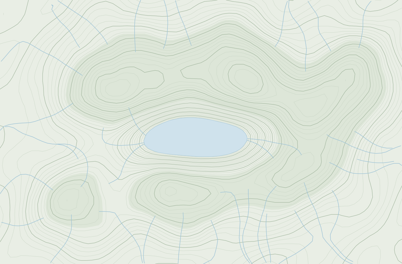

Helvellyn & the eastern fells
330 MB · on this phone
Pre-trip downloads
Select any UK region and download map tiles before you head out — no signal needed on the hill.
Full vector tiles
High-quality vector maps with terrain detail, footpaths, and summit markers — all available offline.
Storage management
View download sizes, queue multiple regions, and remove old downloads to free up space.
How it works
Select a region
Draw a box around the area you plan to hike — from a valley to an entire mountain range.
Download before you leave
Kick off the download on Wi-Fi so it's ready when you reach the trailhead.
Head into the hills
Open the map with no signal. The downloaded tiles load instantly, with trails and summits intact.
Navigate freely
Your GPS position tracks in real time. The map works completely offline — no data needed.
The detail
Select
Region picker
Draw a rectangular bounding box over any area of the UK to define your download.
Queue
Download queue
Queue multiple regions at once and download them on Wi-Fi before your trip.
Tiles
Offline vector tiles
Full terrain vector tiles with footpaths, contours, and fell markers available without signal.
Storage
Storage preview
See the estimated download size before you start, and manage stored regions on-device.
Cache
Auto-cache
Regions you browse online are cached automatically for quick offline access later.
GPS
Live GPS without signal
Your phone's GPS works independently of data — the map updates your position in real time, offline.
Free to start
Plan your next round tonight.
No card needed for the free plan, and core fell bagging stays free. Premium is 99p a month when you want more.