Plan · Route composer
Tap the tops. Know the climb before you go.
Build loops, out-and-backs, and multi-day routes with full trail context — then take them offline.
- Free routes
- 3 saved
- Elevation
- As you plot
- GPX
- Import and export

New route
Loop closed · back at the car park
Visual route composer
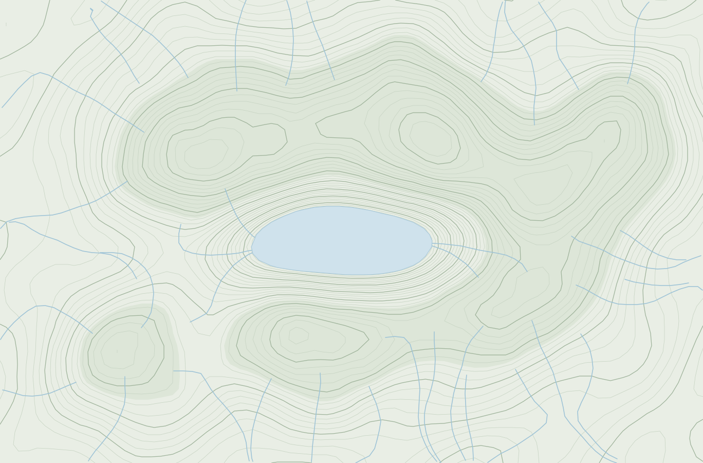
Draw routes directly on the map — loops, out-and-backs, or point-to-point across any UK region.
GPX import & export
Import routes from your GPS watch or any hiking app, and export back when you're done (premium).
Elevation profiles
See the elevation gain and loss for any route before you set foot on the hill.
How it works
Open the map
Start with the full UK map — zoom to your region and begin plotting.
Draw your route
Tap waypoints to build the route, or use AI-assisted generation with distance and duration targets.
Review elevation + distance
Check the elevation profile and total stats before committing to the plan.
Save or export
Save to your route library or export as GPX to take it onto any device.
The detail
Draw
Freeform drawing
Plot waypoints on the interactive map to build any route shape you can imagine.
AI
AI-assisted routes
Set a start point, duration, and difficulty — TrailWise generates a route that fits.
Fells
Fell auto-assignment
Routes automatically detect which fells they pass and link them to your bagging progress.
Elevation
Elevation profiles
Interactive charts showing ascent and descent across every segment of the route.
Library
Route library
Save up to 3 routes free, or unlimited with a premium subscription.
Export
GPX export
Download any route as a GPX file to load onto a Garmin, Wahoo, or any navigation app (premium).
Free to start
Plan your next round tonight.
No card needed for the free plan, and core fell bagging stays free. Premium is 99p a month when you want more.