Trail Guide
Find your next walk.
426 mapped routes with distance, ascent, difficulty and the summits you'll bag along the way. Search, filter, and plan your perfect day on the hills.
- 426+
- Mapped routes
- 1
- Country
- 111 km
- Longest route
- 132,815 m
- Ascent mapped
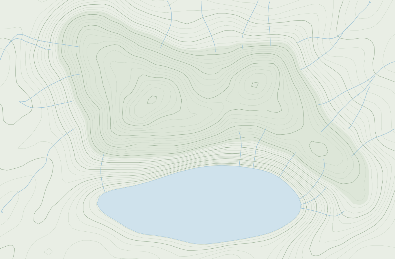
Western top circuit
10.5 km · 531 m ascent · 3:00 Naismith
ModerateMost-loved routes
Hiker favourites
Browse the catalogue
Explore every route
426 routes to explore
Cumbria Way
UnknownBritish Isles
Aaron's Hill & Hydon's Ball Circuit
EasyBritish Isles
Aird Mhor & Ben Shieldaig Circuit
EasyBritish Isles
Allington Hill & Sloes Hill Circuit
EasyBritish Isles
Alphin Pike & Hoarstone Edge Circuit
ModerateBritish Isles
Anastice, Whitbarrow - Lord's Seat & 2 more Circuit
EasyBritish Isles
An Dun & Creag nan Eun Circuit
EasyBritish Isles
An Sidhean, Beinn an t-Sidhein & 1 more Circuit
ModerateBritish Isles
Appuldurcombe Down & St Boniface Down Circuit
EasyBritish Isles
Ashenough Hill, Gill Bank & 1 more Circuit
EasyBritish Isles
Ashley Heath, Ramsdown Hill & 1 more Circuit
EasyBritish Isles
Badbury Rings & Charborough Tower Circuit
EasyBritish Isles
Bailey Hill, Gwernymynydd & 2 more Circuit
EasyBritish Isles
Ballard Down, Nine Barrow Down & 2 more Circuit
EasyBritish Isles
Ball Hill & Belstone Tor Circuit
EasyBritish Isles
Ballyteige & Ballycurragh Hill Circuit
EasyBritish Isles
Bar & Big Doon Circuit
EasyBritish Isles
Barkers Hill & West End Hill Circuit
EasyBritish Isles
Barlavington Down, Farm Hill & 2 more Circuit
EasyBritish Isles
Barrow Hill & Alvediston Hill Circuit
EasyBritish Isles
Bartinney Downs & Carn Brea Circuit
EasyBritish Isles
Bassett Avenue, Chilworth & 1 more Circuit
EasyBritish Isles
Bathampton Down & Lyncombe Hill Circuit
EasyBritish Isles
Bathford Hill & Bathampton Down Circuit
EasyBritish Isles
Browsing is just the start
Turn any route into a tracked adventure.
Save trails, navigate offline, and build a fell archive that grows with every walk — all free to start.
Live GPS tracking
Record every route as you walk it — distance, pace and ascent captured automatically.
Offline maps
Download any route before you go. No signal needed on the hill.
Automatic summit logging
Bag fells without lifting a finger — peaks on your route are logged for you.
Real hiker ratings
Five-metric reviews for scenery, condition and more — know before you go.

Find your next walk
Personalised trail discovery in the app
Filters, ratings, offline maps and routes near you — plus automatic summit logging while you walk. Free to start, no card required.